Geo Source Discovery Workflow
Summary
Geo source discovery is the workflow that finds and evaluates geographic source coverage before canonical parcel and scoring jobs depend on it. It is the operational version of the Geo Source Discovery concept: source candidates are discovered, scored, configured, and then used by canonicalization jobs.
Reader Question
How does the platform decide which parcel or geographic source data is safe enough to feed the geo scoring pipeline?
Surface Or Workflow
Engineers enter this workflow when expanding source coverage, adding a new county, validating a vendor/source table, or diagnosing why a map layer has missing coverage. Operators see the result later as map confidence, coverage warnings, and score availability.
Lifecycle
Discovery starts by scanning candidate source tables and source metadata. Services score candidates, report coverage, and connect the chosen source to configuration under config/geo. Canonicalization then consumes the configured source mapping rather than hard-coding one upstream table.
Child Threads
- Prospecting DevNet Wedge Workflow
- Parcel And Candidate Context
- H3 Features And Travel Time
Implementation Boundaries
services/geo/discovery and libs/geo/discovery own discovery scoring and classification support. jobs/geo/source_discovery is the repeatable entrypoint. config/geo binds selected source mappings to canonical products.
Tradeoffs
Explicit source discovery adds a step before feature work, but it keeps coverage expansion from turning into hidden source assumptions inside scoring jobs.
Visual
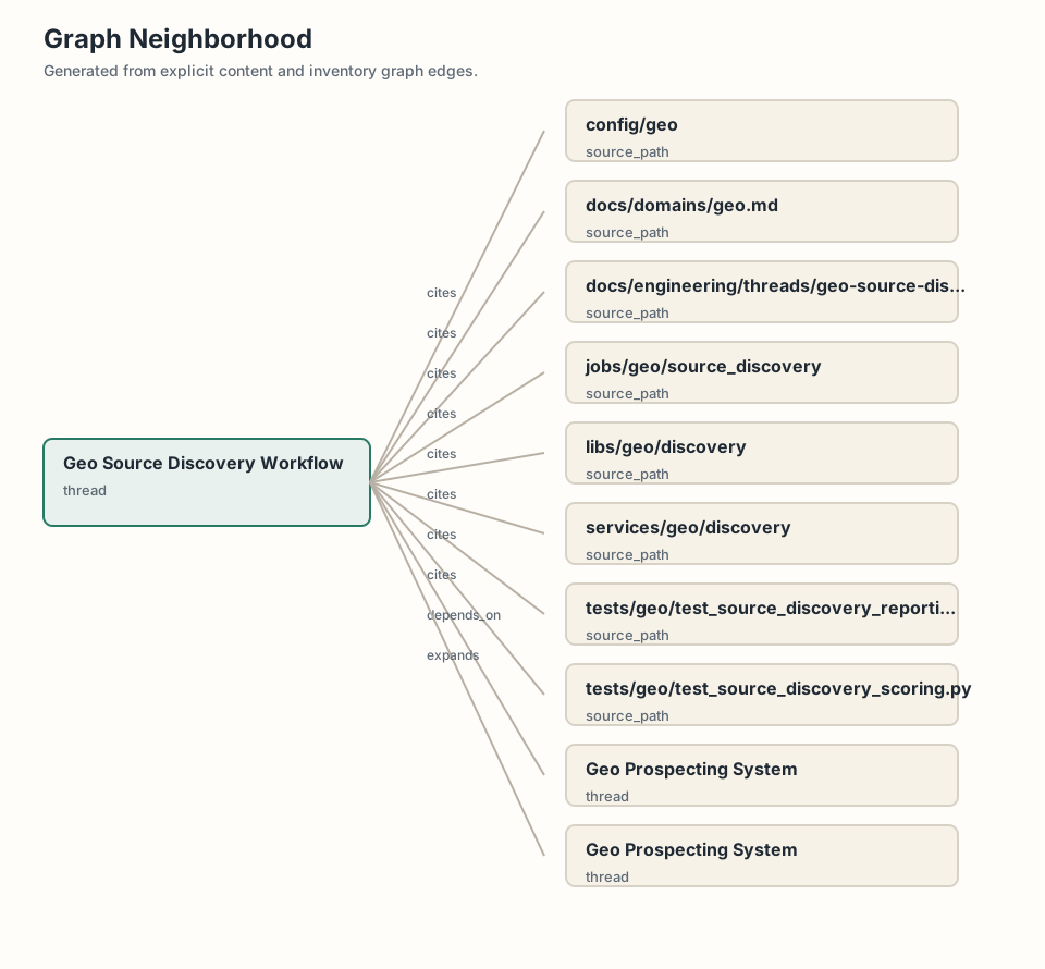
The current visual is a graph neighborhood. The intended visual is a source coverage workflow: candidate sources, discovery scoring, config mapping, canonicalization eligibility, and downstream feature builds.
Source Evidence
docs/domains/geo.mdservices/geo/discoverylibs/geo/discoveryjobs/geo/source_discoveryconfig/geotests/geo/test_source_discovery_scoring.pytests/geo/test_source_discovery_reporting.py
Related Threads
- Geo Prospecting System
- Geo Operations